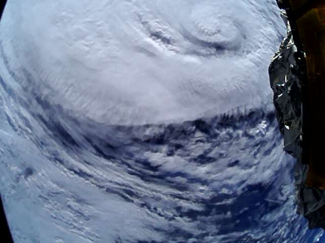
Hurricane Erin Photobombs CatSat

A birds-eye view of Hurricane Erin, captured by the student-led CatSat mission
In a dramatic moment last week, our CatSat mission managed to capture not just the high-resolution Earth images and ionospheric data it was sent into orbit to record, but also a cameo from Hurricane Erin itself! Developed by University of Arizona students, CatSat is a 6U CubeSat operating in a nearly sun-synchronous low-Earth orbit, where it collects HF signals, tests an innovative inflatable antenna for high-speed X-band downlink, and captures stunning Earth imagery.
Meanwhile, Hurricane Erin intensified into a Category 5 storm northeast of Puerto Rico before tracking parallel to the U.S. East Coast as a Category 2. Along the way, it caused one fatality in the Dominican Republic, generated dangerous surf and rip currents up much of the east coast of the US, and grew so vast—its wind field spanning 575 miles—that it ranked as the largest Atlantic hurricane since Sandy in 2012. With initial damage estimates topping $1 million, Erin turned what was meant to be a routine CatSat snapshot on August 22 into a striking record of a once-in-a-decade storm.

