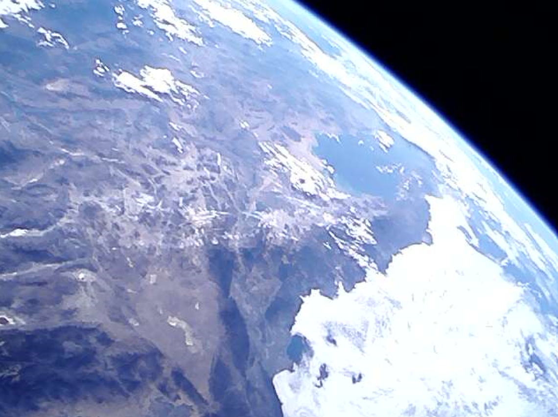
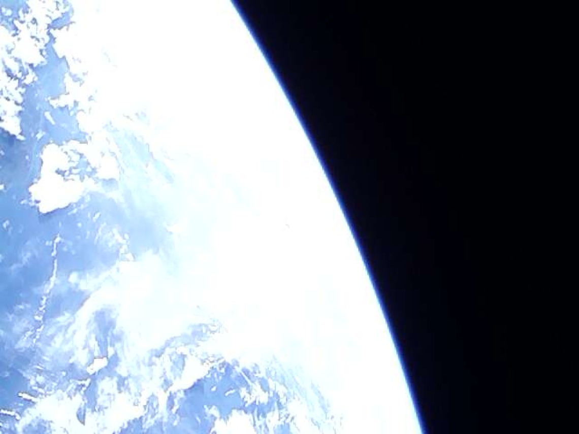
CatSat has captured and transmitted its first pictures of the Earth!

An image of Earth taken from an orbital altitude of ~510 km, transmitted from the student-led CatSat mission.
The student-led CatSat mission has captured and transmitted its first pictures of the Earth!
The image below was taken with the far-focused metrology camera on August 1st at 7:46:46 AM local time (14:46:46 UTC) and received by controllers on the ground a short time later. The picture shows the limb of the Earth with the deep blackness of space on the right. On the Earth, a mix of low and high altitude clouds is seen covering the Pacific Ocean off the coast of Mexico. Between two groups of clouds in the top left of the image, the faint coastline of the Mexican state of Michoacán can be seen. This image represents a major step in the continuing process of commissioning the spacecraft.

To see all the images sent back from space, see the gallery page Images From Space

